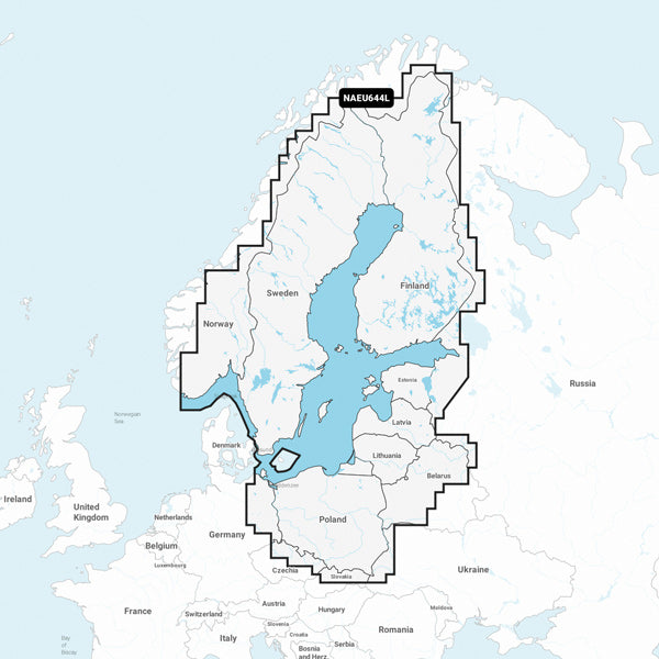
Navionics electronic charts contain more information than printed charts. Navionics chart is a fundamental tool for navigation with water depths, navigation aid, description of any obstacles and other information necessary for safe navigation. Comes on SD/Micro SD.
See the current coverage area at www.navionics.com and check whether your plotter can run with new Navionics+ maps.